The Best Beaches in Gran Canaria: Which One to Choose and Why
All 95 beaches in Gran Canaria on an interactive map, grouped by municipality and by type, with the best ones picked by who you are travelling with and what you want.
Cristopher OlivaLocal Mogán Explorer
Reviewed
Share
Gran Canaria has more than a hundred named beaches and they have almost nothing in common. There is imported white sand and volcanic pebble, bays without a single wave and coast open to the Atlantic, beaches with lifeguards and coves five kilometres up a mountain trail. So this guide does not rank them from best to worst, which tells you nothing. It sorts them by the thing that actually decides: what you are looking for.
The continuous southern beach, from Playa del Inglés to Maspalomas. Video by MyWanderWays.
The island’s beaches in numbers
Beaches (official count)
128, with around 60 km of coast
The most famous
Playa del Inglés, in the south
The most urban
Las Canteras, in the middle of the capital
The most remote
Güigüí, 5 km of trail away
Water (ref. Mogán coast)
From about 19° in winter to 24° in summer
Our inventory
95 mapped beaches (the official census counts 128)
If you just want our shortlist
This guide argues there is no single best beach, and we stand by that. But if you have ten seconds and want a quick answer, here is our shortlist, each one for a different reason:
Desliza para ver la tabla completa →
Beach
Area
Why it is here
Maspalomas
South
The dune landscape, unmatched in the Canaries
Las Canteras
Capital
The most complete city beach, the best for swimming
Amadores
South-west
Enclosed bay, the easiest with a family
Anfi del Mar
South-west
The calmest swim on the island
Güigüí
West
The wildest, for those who walk
Playa de Mogán
South-west
Beach and canal town in the same spot
Tufia
East
A local cove with charm, next to a hamlet
Melenara
East
Island atmosphere and fish on the promenade
Guayedra
North-west
Volcanic landscape, for the nature seeker
Playa del Inglés
South
Endless facilities and atmosphere
That said, choosing a beach on a ranking alone is a mistake: the right one for you depends on who you are with and what you want that day. That is what the rest of this guide is for.
How to choose a beach on this island
The idea that saves the most time: in Gran Canaria the right beach depends on which coast, not which name. And the island does not split into two clean halves, but into four faces with a character of their own, depending on how the wind and the sea hit them.
Desliza para ver la tabla completa →
Face
General character
South-west (Mogán)
The most sheltered: resort bays, little wind, calm bathing
South (Maspalomas)
Big open sands, breezier
East and south-east (Telde, Agüimes)
Very windy, local beaches, a windsurfing reference (Pozo Izquierdo, Vargas)
North, north-west and west
More exposed to swell: rocky coast, dark sand and wild coves
In practice: for still water and facilities, look to the south-west and south; for wind, watersports or a local feel, the east; and for rugged nature and coves, the north and west. The thermometer reads almost the same island-wide, but the water feels cooler wherever there is swell and wind.
How we made this guide. Our recommendations combine beaches the HeyMogan team has actually walked, above all in Mogán and the south-west, with technical information cross-checked against town halls, Gran Canaria Tourism and mapping sources. Where a detail comes from the map and we have not verified it on the ground, we say so. We are from Mogán: for beaches outside the municipality the source counts for more than the visit, and we flag it that way.
The 95 beaches on our map
This map gathers the 95 named beaches and coves we have verified with coordinates. You can filter by municipality and each point opens its card with a directions link. The colour shows the surface type: sand, pebble or rock.
Filter
SandPebbleRockNot recordedClick any beach for directions
This is not the official tourist census. Our mapping inventory currently holds 95 named beaches and coves with checkable coordinates; the Gran Canaria Tourism dossier counts 128 beaches on the island and around 60 km of beach coast. The difference is methodological (what counts as a beach, a cove or a place name), and we are expanding the map. Two coastal municipalities, Moya and Artenara, are not yet included here either.
Forty-nine of the ones that are included have no surface type recorded in the mapping database, and appear as “not recorded” rather than being assigned one by guesswork.
The best with children
The criterion here is not beauty but swell, entry into the water and facilities. With those three filters the list shortens considerably.
Desliza para ver la tabla completa →
Beach
Why it works
Drawback
Anfi del Mar
Bay enclosed by breakwaters, not a single wave
Small and it fills up
Amadores
Equally sheltered and considerably bigger
Paid parking
Playa de Mogán
Protected by the harbour wall, town right there
Very small
Las Canteras
The rock bar cuts the swell
It is an urban beach, it gets busy
Puerto Rico
Inside the resort, everything on foot
Hills to get there
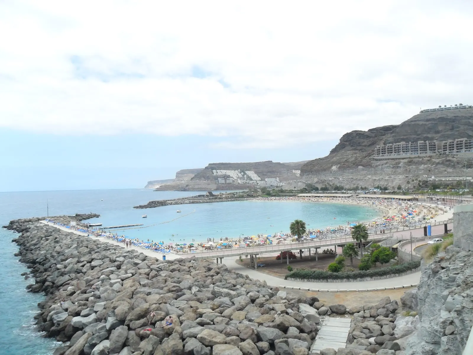
For us, with children under six the best is Anfi del Mar: the two breakwaters keep the water usually very still and the entry is gradual. If you find it full, Amadores does something similar with more sand.
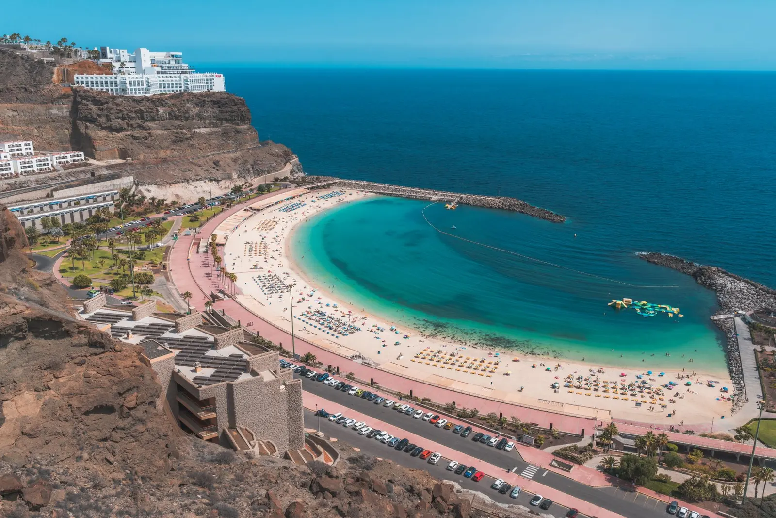
Amadores from above: the enclosed bay explains why it has no swell.
The best for escaping the crowds
Here the price is paid in access. The emptier a beach is on this island, the harder it is to reach.
Desliza para ver la tabla completa →
Beach
How you get there
What is there
Güigüí
5 km mountain trail, or by boat
Nothing whatsoever
Veneguera
About 8 km of dirt track, suitable vehicle
Nothing
Guayedra
Track (4×4 advised) then a walk in; open beach
Nothing, and strong swell
El Confital
On foot or by car from La Isleta
Very little
Tufia
Car as far as the hamlet
Very little
Güigüí is the answer if you are willing to walk. Five kilometres of mountain in each direction and no water or shade when you arrive, but it is one of the most striking beaches in the archipelago and gets far fewer visitors than any beach reachable by road.
If you would rather have something much more reachable than Güigüí, Veneguera in Mogán gives a similar feeling for far less effort, though it is no stroll: around eight kilometres of dirt track, and Gran Canaria Tourism recommends a vehicle suited to the terrain. It is also a mixed beach of boulders, gravel and dark sand.
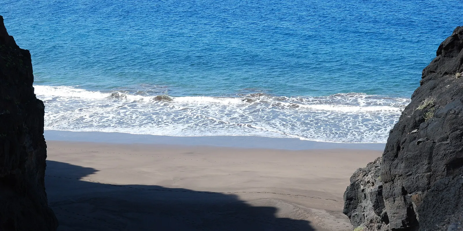
Güigüí gets few visitors precisely because getting there is hard and nothing is sold there.
The best for actually swimming
Swimming lengths is a different thing from bathing, and not every beach works. You need still water, space and ideally something to sight off.
Desliza para ver la tabla completa →
Beach
Why
To bear in mind
Las Canteras
The natural bar creates a pool over 1 km long
The best on the island for this, by a distance
Amadores
Enclosed bay, 500 m of sand
Shared with a lot of bathers
Anfi del Mar
Completely still water
Short, you have to do laps
Playa de Mogán
No current inside the harbour wall
Very small
Las Canteras: the rock bar turns over a kilometre of city beach into a natural pool.
Walking the length of Las Canteras, in Las Palmas. Video by Walk In Progress 4K.
For swimming lengths, our pick is Las Canteras: the rock bar that closes it turns more than a kilometre of urban beach into a natural pool with calm water. One important nuance, because not all of it behaves the same: to swim, choose the stretch protected by La Barra; the La Cícer end, on the other side, is more exposed and is surf territory. It is why the capital has a swimming culture the south simply does not.
The best for walking and looking
Some beaches are not for lying on. These are best enjoyed on foot.
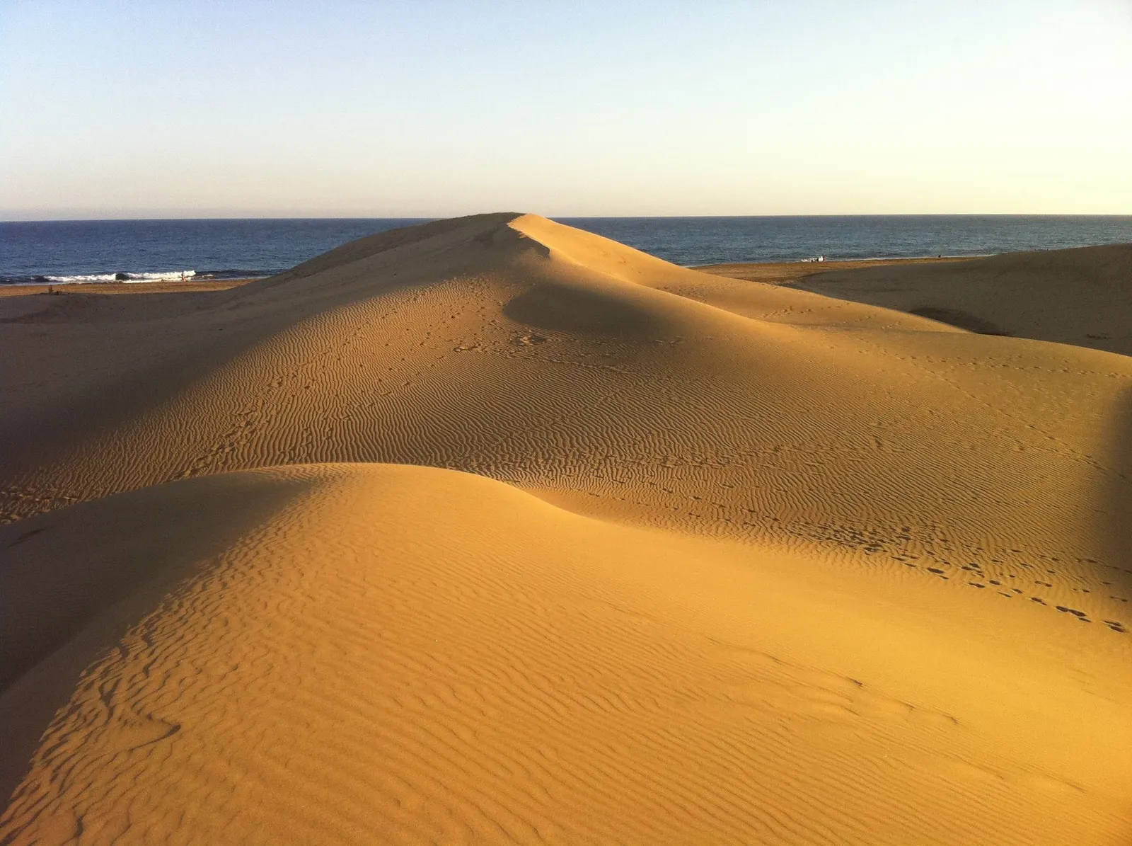
Maspalomas tops the list on setting: the dunes are a nature reserve and the walk from the lighthouse to the beach looks like nothing else in the Canaries. El Confital, in the capital, combines rocky coast, surf culture and the views over La Isleta. And La Laja is long, open and perfect for walking even if swimming is complicated by the swell.
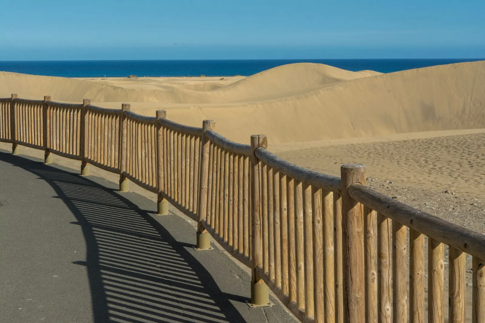
The boardwalk to the Maspalomas dunes, which is where you have to walk to avoid damaging them.
Area by area
The south-west: Mogán
This is the stretch where the water is stillest on the whole island. Anfi del Mar, Amadores, Puerto Rico, Taurito and Playa de Mogán share the municipality’s 23.5 km of coast, and several are protected by breakwaters that greatly reduce the swell. Not all of them, though: Taurito, for one, keeps a moderate swell.
It is also where the artifice is: several of these beaches were built, with sand shipped in and bays deliberately closed off. It works very well for swimming and for children, and not at all if you want nature. For that, in the same municipality, there is Veneguera.
The promenade in Mogán, in the south-west of the island.
The south: San Bartolomé de Tirajana
This is the largest and most famous stretch of sand on the island: Playa del Inglés and Maspalomas are in fact one continuous beach several kilometres long, joined by the dunes. It has been the heart of Canarian tourism since the sixties.
What sets it apart from the south-west is the scale and the wind. These are open beaches, breezier, far longer, with an atmosphere running from family-oriented in San Agustín to very lively in Playa del Inglés. Las Burras, in between, is the one locals use most.
Playa del Inglés: the island’s most famous beach and the heart of Canarian tourism.
The capital: Las Palmas
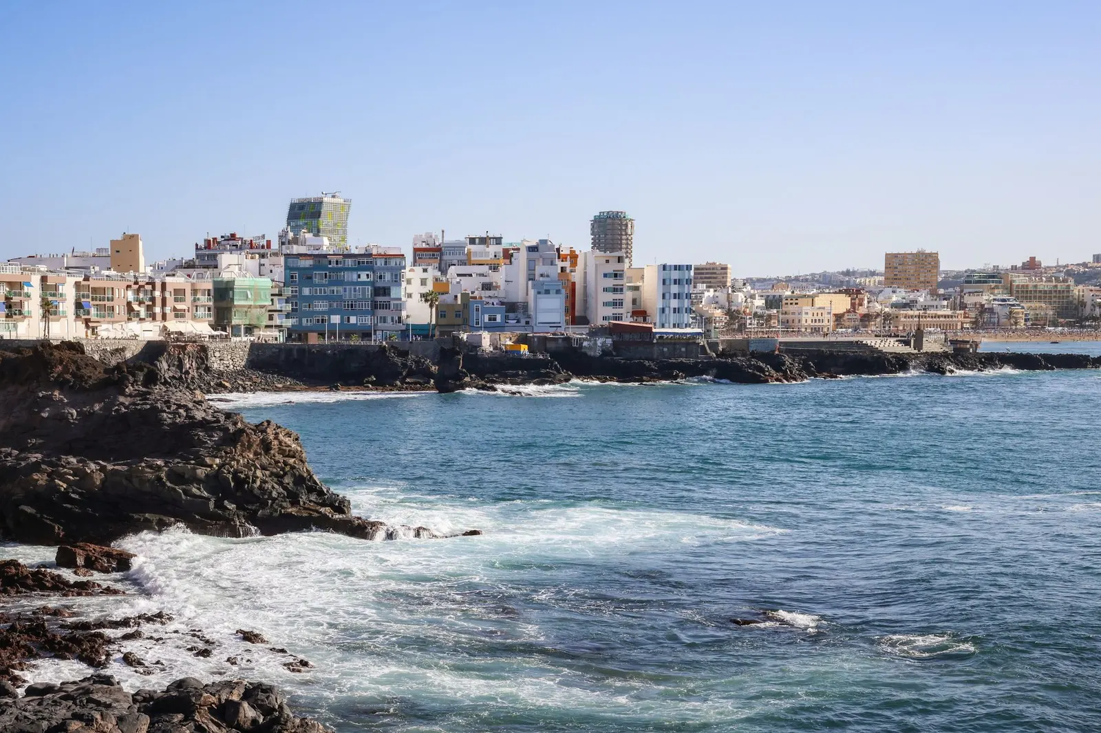
Las Canteras is the exception that proves every rule on this island: a three-kilometre urban beach in the middle of a city, protected by a natural rock bar that creates a stretch of calm water.
It is arguably the best city beach in Spain and it works all year, with people swimming in January. At the far end of La Isleta sits El Confital, which is the opposite: rocky, wild, and with the best wave in the city. And to the south, La Laja, long and open.
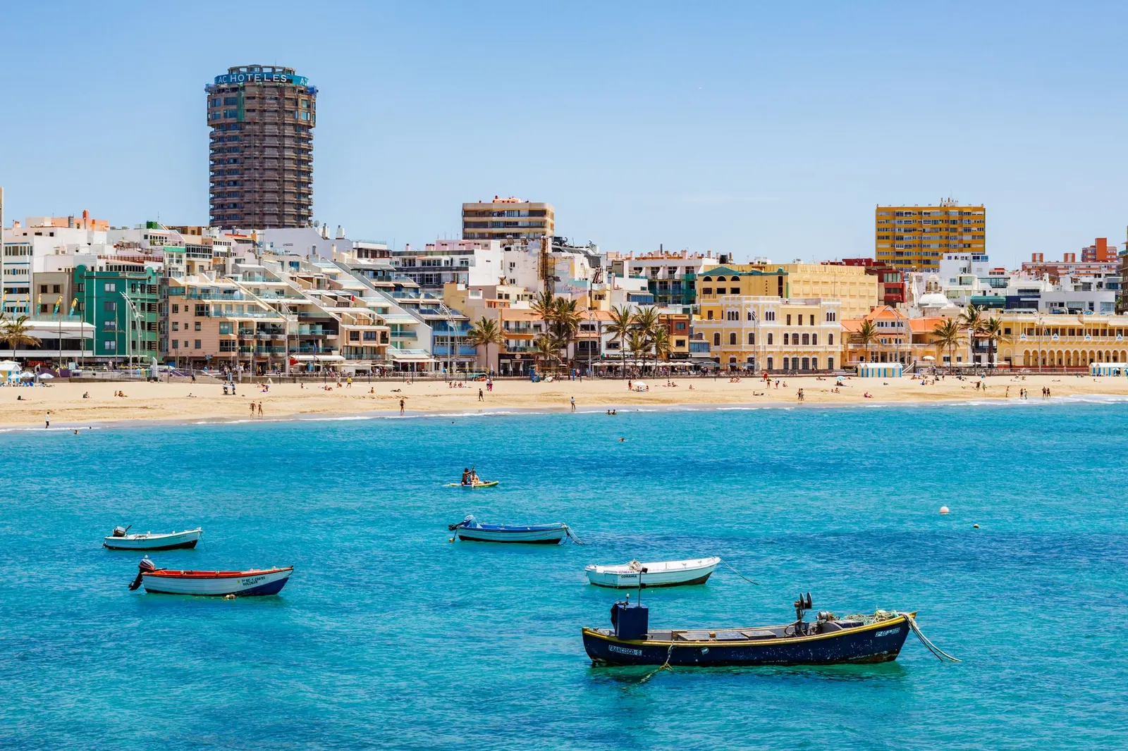
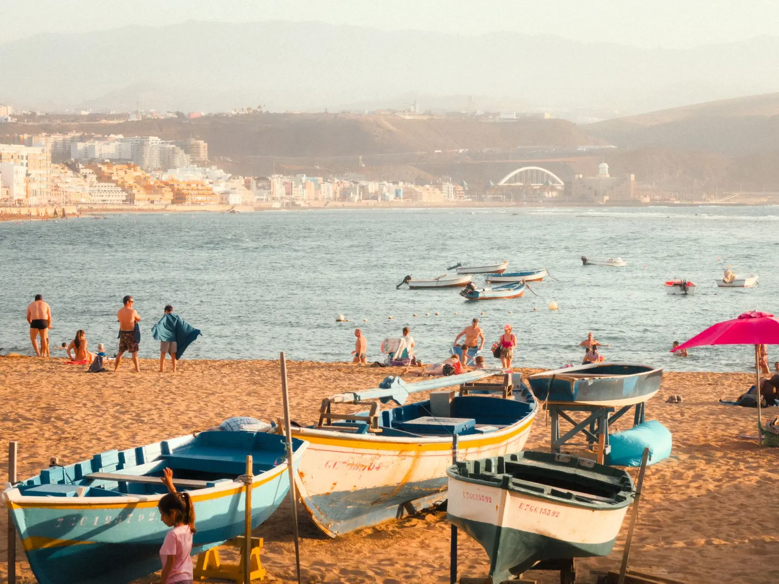
Boats drawn up on Las Canteras, in the middle of the capital.
The east: Telde and Agüimes
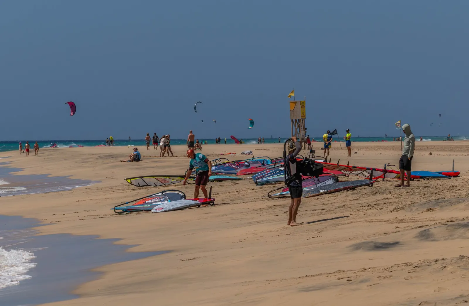
The east coast is the least touristy and the most used by islanders, and also the windiest: Pozo Izquierdo and Vargas, further south along this same shore, are an international windsurfing reference precisely because of their strong wind. Melenara is the reference for a local swim, with its promenade of fish restaurants. Tufia is a small cove beside a hamlet that has become a quiet classic. And there is a run of dark-sand and pebble beaches with very little foreign presence.
It is the side of the island we would recommend most to anyone coming back a second time: more reasonable prices, local atmosphere and very few excursion coaches.
The east coast of the island, the least touristy and the most used by locals.
The north and west: the rough coast
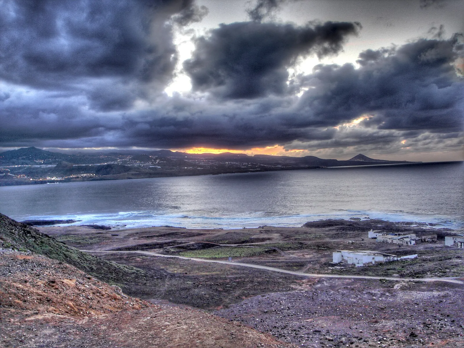
Everything changes here. The trade wind comes in head on, the swell is serious and the beaches are pebble and dark sand. Agaete, Sardina, Guayedra and the coves of Gáldar have a completely different character from the south.
And at the far west is the roadless stretch where Güigüí sits, the most isolated beach in Gran Canaria, five kilometres of trail away or reachable by boat.
On swimming in the north: the open Atlantic does not forgive the way the south does. There are real rip currents and not every beach has a lifeguard. Always check the flag, and if there is no flag and the sea is up, the prudent answer is not to go in.
By type of beach
Surface changes the experience more than any other variable, and on a volcanic island that is not an aesthetic detail: it determines whether you need water shoes, how the water shelves and even how hot the ground gets.
The best golden-sand beaches
Within the 95 beaches on our map, 31 are recorded as sand. The big southern ones (Playa del Inglés, Maspalomas, San Agustín, Las Burras) and the south-western ones (Amadores, Anfi, Puerto Rico, Mogán) are the most comfortable, though in several cases the sand was brought in. In the capital, Las Canteras and Las Alcaravaneras. In the east, Melenara and Salinetas.
One thing worth being clear about, because it causes a lot of confusion: Gran Canaria has natural sand of several kinds. Beaches like Maspalomas and Playa del Inglés are natural stretches of fine yellow-gold sand; the east and north are dominated by dark volcanic sand; and there are runs of gravel and pebble. What is artificial is the especially pale sand of some south-western beaches: Amadores and Anfi were built with sand shipped in. In other words, natural does not mean dark, and pale does not mean natural.
The best pebble beaches
Within our map, thirteen beaches are recorded as pebble, and they are the ones that best preserve the original character of this coast. Arguineguín, Las Carpinteras and Los Frailes in the south-west; Las Nieves in Agaete; Bocabarranco in Gáldar; Las Pimientas and Las Mujeres in the south.
What to know before you go: pebble is much easier with water shoes, the entry into the water is awkward and the ground gets hotter than sand at midday. In exchange, you do not stir up sand as you go in, so the water clouds less with the traffic of bathers.
The best coves and small beaches
The island has a collection of hard-to-reach coves that genuinely surprise anyone who only knows the southern resorts. Güigüí in La Aldea, Guayedra in Agaete, Veneguera and the western coves of Mogán, Tufia in Telde, El Juncal in the north.
They share three things: you reach them on foot or by track, they have no facilities at all, and naturism is common at several of them. They are a full-day plan, not an hour.
The best black-sand beaches
Dark volcanic sand is the most characteristic surface on the east and north of the island, and the one that almost never appears in postcards of the south. La Laja in the capital, Melenara and Salinetas in Telde, Bocabarranco in Gáldar, Veneguera and Taurito in Mogán.
It has one important practical consequence: black sand reaches far higher temperatures than pale sand under the same sun. At midday in summer, crossing it barefoot is genuinely painful.
The dark sand of the south, with windsurf boards drawn up on it.
The beaches on our map, municipality by municipality
This is the mapping inventory we work with, ordered by municipality: the 95 named beaches with coordinates that we hold, not the island’s official census (which counts 128). Each one shows its surface type and a directions link. Some names come straight from community mapping rather than official tourist nomenclature, so we give them as a location reference, not a validated place name:
The argument almost no guide uses and which decides more trips than people realise: in the south-west, the water stays mild all year round. The figures below are the daily average for 2016-2025 off the Mogán coast, so they work as a south-west reference, not as a single number for the whole island: Gran Canaria Tourism’s official information uses roughly 18° in winter and 22° the rest of the year.
Sea temperature month by month
The monthly averages for 2016-2025 range roughly between 20.2° in February and 24.1° in September, so the swimming season here never really closes.
Jan20.8°
Feb20.2°
Mar20.2°
Apr20.7°
May21.5°
Jun22.7°
Jul23.3°
Aug24.1°
Sep24.1°
Oct23.8°
Nov23.1°
Dec21.8°
23° and up: warm21.5-23°: fresh at firstBelow 21.5°: bracing
Daily average 2016-2025 off the Mogán coast, Open-Meteo Marine.
It is the consequence of the Canary Current, which keeps the Atlantic stable all year. In practice it means the swimming season never closes: there are people swimming at Las Canteras and Amadores every day in January.
The regional nuance: in the south-west the water is slightly warmer and much stiller; in the north and east it feels cooler because of the swell and the wind, even though the thermometer reads a similar figure.
Other ways to choose
If your criterion is a different one, we have the specific lists:
Desliza para ver la tabla completa →
If you want
The list
What you will find
To bring a dog
Dog-friendly beaches
Very few authorised, and none in the south
Naturism
Nudist beaches
Several recognised, from the most accessible to 5 km of trail
Three things that decide the day and that almost no “best beaches” list mentions.
Desliza para ver la tabla completa →
Matter
How it works
Advice
Parking
Free at most, paid at Amadores and Anfi
Arrive before eleven, or park up the hill and walk down
Flags
Green, yellow and red, with lifeguards at the main ones
Beaches without services have no flag and no supervision
Accessibility
Boardwalks and amphibious chairs at the big beaches
Coves reached on foot are not accessible
Shade
Effectively none beyond hired parasols
On the wild ones, you bring the shade
On accessibility, a useful and little-known fact: the large southern beaches and Las Canteras have boardwalks and an amphibious chair service in season, with staff on hand. Coves reached by footpath, obviously, do not.
When to go, month by month
Desliza para ver la tabla completa →
Season
Sea
Crowds
Best for
December to February
20-21°
High, northern Europeans
Winter sun and the southern beaches
March to May
20-21,5°
Moderate
Walking to the coves, the island at its greenest
June to August
22,7-24,1°
High, especially August
Long swims, avoiding midday
September to November
23-24°
Low
The best balance of the year
If your dates are flexible, September and October are the best months for beaches in Gran Canaria: the water is at its warmest point of the year, the Spanish summer has passed and the northern European winter season has not started.
The mistakes that keep repeating
Choosing by the photograph. Half a dozen of these beaches have imported sand and artificial bays. They photograph beautifully and they are excellent, but if you want a natural cove those are not it.
Going at midday. Between eleven and four they fill up, there is no parking and the sand burns. First thing they are another place.
Swimming in the north without checking the flag. The open Atlantic has real currents. The southern beaches forgive; the northern ones do not always.
Taking no shade to the wild ones. Veneguera, Güigüí and the rest have neither a tree nor a beach bar.
Writing off winter. Do not write it off: there are still excellent beach days and the temperature is ideal for walking. That said, the south is right in the high season of European tourism, so the tourist beaches are anything but empty.
Never leaving the hotel beach. There are radically different beaches twenty minutes from wherever you are staying.
It depends what you want, which is why this guide does not give one answer. With small children, Anfi del Mar. For swimming, Las Canteras. To escape people, Güigüí. For the setting, Maspalomas. And to have everything to hand, Puerto Rico.
How many beaches does Gran Canaria have?
The official Gran Canaria Tourism dossier counts 128 beaches and around 60 km of beach coast. Our map currently holds 95 geolocated with coordinates; many of the rest are small coves that are hard to reach.
Which is the prettiest?
For the picture, Anfi del Mar and Amadores in the south-west, though both are artificial. For natural landscape, Maspalomas with its dunes and Güigüí on the west coast.
Which beach has white sand?
Anfi del Mar and Amadores have the palest sand, and in both cases it was brought in: they are artificial beaches. The natural sand of the island runs from the yellow-gold of Maspalomas and Playa del Inglés to the dark volcanic sand of the east and north, plus gravel and pebble.
Can you swim in winter?
Yes. The sea sits at 20-21 degrees from December through May. It is cool on entry and comfortable once you are in, and there are swimmers every day of the year.
What are the best beaches in the south?
Amadores and Anfi del Mar for still water, Maspalomas for the setting, Playa del Inglés for facilities and atmosphere, and Playa de Mogán if you want to combine a swim with seeing a pretty town.
And in the north?
Las Canteras in the capital, which is one of the best city beaches in Spain, El Confital for surf and setting, and the coves of Agaete and Gáldar for a more local swim with more swell.
Are there nudist beaches?
Yes, several with recognised nudist use: the Maspalomas zone, Montaña Arena, Guayedra and Güigüí, plus southern coves such as Lomo Galeón, El Molinero and Los Bigotes. They are covered in our dedicated guide.
In short
The question of which is the best beach in Gran Canaria has no single answer, and anyone giving you one is simplifying. What there is instead is a beach that fits each kind of trip.
With small children, the south-west and its enclosed bays. If you want to swim, Las Canteras. If you want landscape, the Maspalomas dunes. If you want to be alone, prepare to walk. And if you are staying in the south, the best decision you can make is to leave your hotel beach at least once: twenty minutes away there are beaches that look nothing like it.
And for the most popular tourist beaches, our advice is almost always the same: go first thing. The same beach at nine in the morning and at one in the afternoon is two different places. On the wild coves the tide, the trail or the afternoon light matter more than the clock.
Image credits
Sergiu Iacob · Pexels · Kriki · CC BY 3.0 · vía Wikimedia Commons · Canary Vista ES · Pexels · Jan van der Wolf · Pexels · Wijs (Wise) · Pexels · Rien Schrijver · Pexels · Atlantic Ambience · Pexels · Paulino Acosta Santana · Pexels
A tireless explorer of every corner of Mogán. A lover of good coffee and an expert at finding the best fresh fish of the day. His motto: “In Mogán there's always something new to discover”.
Local Tip
From the heart of Mogán
“The further you move back from the seafront, the better you eat and the less you pay. Two or three streets inland changes both the menu and the bill. That is where locals eat.”
How to get there and where to park, why the water is so calm and the sand so golden, the seafront walk to Puerto Rico, when to go to dodge the crowds, and which southern beaches to weigh it against.